The map is part of the story
From historical atmosphere to tactical clarity: finding the right balance in a 2D campaign map.
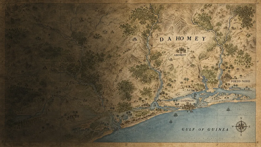
An old map invites you to look closely. A river bends through unfamiliar names; a road disappears into a patch of terrain; a scale at the edge reminds you how far apart two places really are.
For CAMPAIGNS, that invitation is a useful starting point. The map should create atmosphere, but it also has a job to do. Players need to understand it well enough to act.
Start with what matters
Not every detail from a reference map belongs in a game map. The first question is what a feature contributes to a decision. Does it shape movement? Affect visibility? Help the player recognise a location?
Decorative texture can make a map feel convincing, but it should never compete with the information that governs play. A beautiful river is not useful if its banks are impossible to distinguish from a route line.
Build a visual language
The intended direction uses a restrained palette: muted greens for terrain, warm sand for open ground, and contrasting markers for forces. Labels need to remain readable when the map is reduced to a phone-sized view.
Colour alone is not enough. Shape, line treatment, and clear labels should carry meaning as well, so the map does not depend on a player’s ability to distinguish two similar hues.
Keep the layers separate
We think about the map in layers: the underlying geography, the information needed to play, and the interface that helps the player interact with both.
That separation makes it easier to ask whether a change improves readability or merely adds detail. It also gives historical atmosphere a place without allowing it to obscure a selected unit or an important boundary.
A reference is not a verdict
Historical maps reflect the purposes and perspectives of their makers. Their labels, omissions, and boundaries need context. Research should compare sources and acknowledge uncertainty rather than treating an attractive document as unquestionable evidence.
The map illustrations currently used on this website are artistic concepts, not archival documents or authoritative geographical references. As the project develops, research notes can explain the sources behind specific design choices.
The goal is a map that rewards two kinds of attention: the first glance that reveals the situation, and the closer look that suggests a possibility.